
Lombard ZIP Code Coverage
USPS and local government records consistently identify 60148 as Lombard's primary delivery code. Two USPS facilities use it: the Lombard Post Office at 380 E. Saint Charles Road and the Yorktown station at 226 Yorktown Shopping Center. Other numbers grouped beneath Lombard in a postal labeling table are processing associations, not proof that the whole ZIP lies within incorporated Lombard.
| ZIP Code | Areas Covered | Post Office | Notes |
|---|---|---|---|
| 60148 | Lombard delivery addresses; nearby community overlap appears in county sources | Lombard Post Office and Yorktown station | Confirmed primary label, not a village boundary |
| 60160–60165 | USPS DMM label grouping under Lombard 60148 | Individual delivery stations not confirmed | Verify each full address with USPS |
| 60171 | Same postal label grouping | Individual station not confirmed | Do not assign wholesale to the Village |
| 60137, 60181, 60126 | Nearby Glen Ellyn, Villa Park/Oakbrook Terrace, and Elmhurst labels | Nearby facilities | Useful boundary examples, not Lombard's primary code |
The official USPS Lombard location result lists the main station's ZIP+4 and nearby Villa Park and Glen Ellyn facilities. County materials also describe 60148 with Glendale Heights or Villa Park for survey geography. Those descriptions serve their own programs. They do not redraw municipal limits.
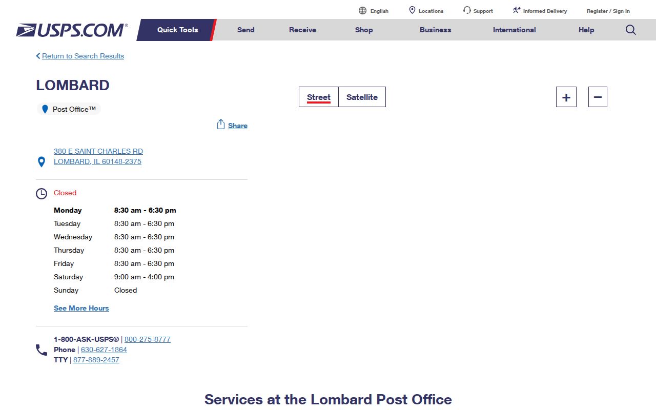
The USPS screen confirms a delivery facility and postal label; the parcel map must answer the local-government question.
Lombard Postal and Village Lines
A mailing label, survey area, and incorporated boundary are different shapes. The county needs broad ZIP groupings for some surveys. USPS organizes delivery. The Village governs land within its corporate boundary. One address may be relevant to all three systems, but the label in one does not control the others.
Boundary check. A 60148 label does not prove Village jurisdiction. Confirm the parcel's municipality and taxing entities in DuPage records.
Lombard covers 10.22 square miles and had 44,476 residents in the 2020 Census, yet the Census count is tied to municipal geography, not every mailing address bearing the Lombard name. This is why a ZIP code directory should state what each number can and cannot establish.
Search Lombard Records by ZIP
The DuPage GIS advanced search is the best documented ZIP-capable local tool. It includes a Property ZIPCODE field and returns parcel results, not people living in each home. The parcel service keeps physical fields such as PROPZIP separate from billing fields such as BILLZIP. Preserve both values before drawing a conclusion.
- Verify the full address through USPS and retain any ZIP+4 shown.
- Enter the street parts and Property ZIPCODE in DuPage GIS. Keep a small result set.
- Open each PIN in the assessor portal and compare property ZIP, billing ZIP, municipality, township, and tax districts.
- Use the Recorder's street or PIN route for deeds. Its search has no ZIP input.
- Use I-CASH or the ISP registry ZIP filter only for that system's limited purpose.
Once the ZIP-wide parcel set is reduced, the Lombard street directory provides the address-level path. Do not attempt a ZIP-wide voter browse. DuPage's voter lookup uses City and district fields with identity inputs, but no visible ZIP filter.
Lombard GIS ZIP Search Fields
The parcel viewer divides a situs address into components. That makes a ZIP filter reproducible and keeps an apartment or direction from being lost. A result cap of 1,000 applies, and the viewer can export TXT, CSV, PDF, XLS, or XLSX.
| Field | Use | Important Detail |
|---|---|---|
| Property ZIPCODE | Filter physical parcel ZIP | Not the owner's billing ZIP |
| Property City | Test the municipality label | A label is not a boundary finding |
| Street number, direction, name | Narrow the address | Parts are entered separately |
| Property Apartment | Retain a unit clue | Parcel data still does not list all occupants |
| PIN | Open parcel and deed routes | Use ten digits without dashes in GIS |
The official DuPage parcel layer exposes the physical and billing ZIP fields documented in the research.
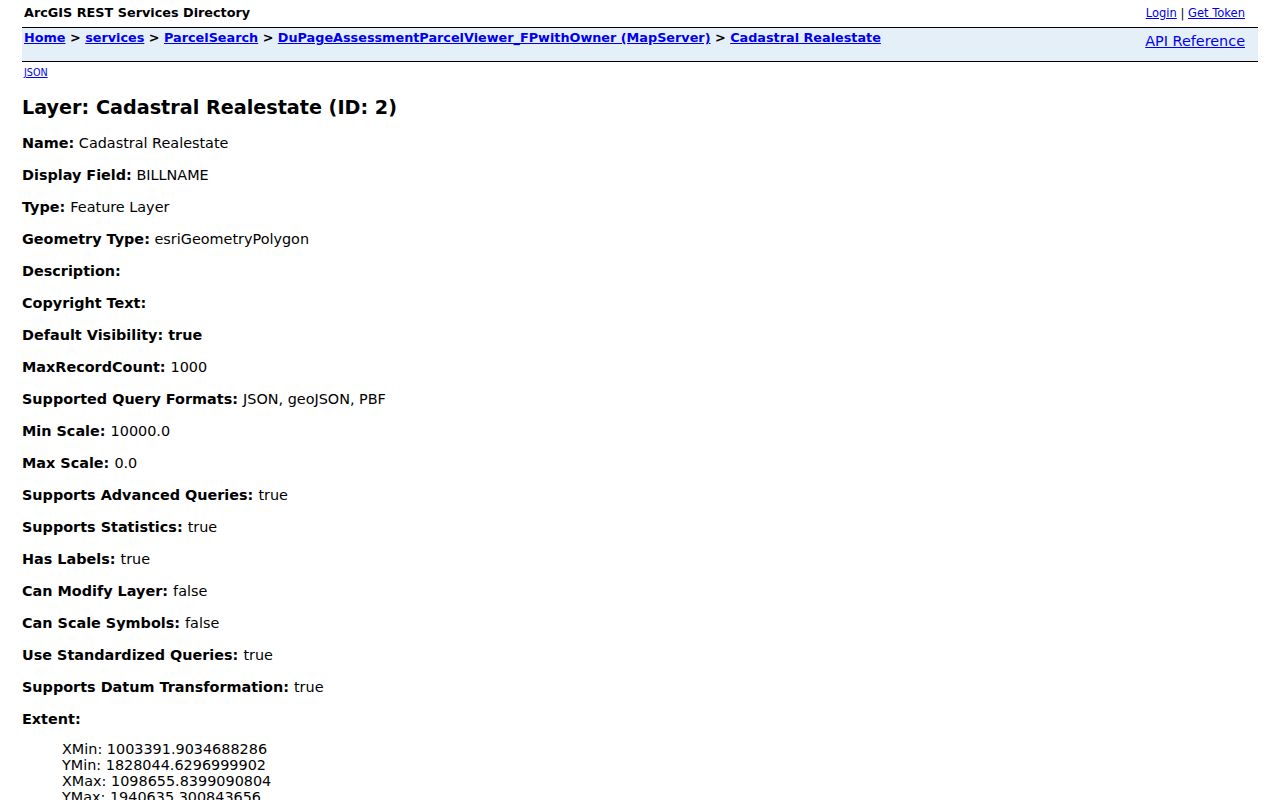
The separate PROP and BILL columns make the physical-versus-mailing distinction visible instead of leaving it to guesswork.
Four Lombard Location Keys
A single parcel can carry four valid location references. The situs is the land's physical address. The billing address tells the county where to send tax correspondence. The PIN and legal description identify the land in tax and recorded documents. USPS supplies the delivery city and ZIP code.
This distinction is Lombard's central postal quirk. An owner may receive a tax bill outside Illinois while the parcel remains in Lombard. A nearby parcel may use a Lombard mailing label without sitting inside the Village. A legal description can remain useful when postal wording changes. Keep all four fields in research notes.
Note: Describe “records associated with 60148,” not every resident or parcel inside a claimed ZIP boundary.
Lombard ZIP Codes Defined
Postal terms describe delivery, not ownership or residence. A ZIP+4 can narrow an address to a smaller delivery segment. A carrier route groups stops served along a postal route. Neither is a legal parcel description. The research did not verify a Lombard-only PO-box ZIP or a unique institutional ZIP, so none should be invented.
- ZIP vs ZIP+4
- A five-digit delivery area versus the added four digits that narrow the delivery segment.
- PO-box ZIP
- A ZIP assigned mainly or solely to post-office boxes. No Lombard example was confirmed.
- Unique ZIP
- A ZIP assigned to one high-volume organization. No local example was verified.
- Carrier route
- A group of addresses served along one postal delivery route.
ZIP Filters Beyond Lombard Parcels
Some statewide tools accept a ZIP code, but each serves a narrow purpose. The Illinois I-CASH search uses city and ZIP to narrow unclaimed-property names. A match is an owner or heir lead, not proof of present residence. The Illinois State Police registry also offers a ZIP field under its own rules.
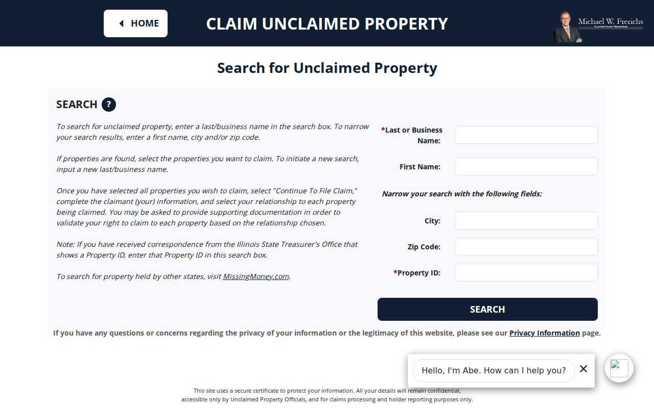
The I-CASH form shows how ZIP acts as a narrowing field. Claims still require identity, relationship, and supporting documents, and Illinois does not charge a search or claim fee.
The Recorder is different. Its street form separates number, direction, street, and city but has no ZIP box. DuPage voter lookup also lacks a visible ZIP field. Use the key each custodian actually indexes instead of forcing a postal value into the wrong search.
Use PINs Across Lombard Boundaries
The parcel identification number, or PIN, is a stronger bridge when city and postal labels drift. DuPage displays it in groups such as 10-07-107-003, while GIS accepts the ten digits without dashes. The assessor card links that identifier to a legal description, parcel map, tax entities, and transfer history.
Take the PIN to the Recorder for deeds, plats, annexation records, and other instruments. Online Recorder PIN searches begin in 1985, street searches in 1995, and name or computer research in 1961. Older property records remain available through office research back to 1839. A missing ZIP or street hit can therefore reflect the index cutoff, not the absence of a parcel record.
Confirm Lombard ZIP Geography
No official municipal-boundary-to-ZIP overlay or separate Lombard E911 assignment policy was located. Use three authorities instead. USPS verifies delivery. DuPage GIS and the assessor verify parcel and taxing geography. Village Community Development or Public Works can address a local street-label question.
Historical searches need one more step. Pair an old directory or newspaper locality with the plat, legal description, and parcel geometry. Do not project a current ZIP backward into a year before modern postal codes, and do not claim a street was renumbered without a dated official record.