
Walk a Lombard Street by Address
A street-by-street search works best when each system supplies the key for the next. Ownership is public through the assessor and recorded instruments, but ownership does not prove who sleeps at an address. Election matching and an old directory can add occupancy clues within their own dates and access limits. Preserve the source date with every name.
- Enter the physical address in the DuPage address search. Open the parcel card and copy the PIN, property address, billing name, municipality, township, legal description, and transfer history.
- Put that PIN or the split street fields into the DuPage Parcel Viewer. Confirm the polygon and inspect nearby parcels without assuming one mailing label defines the village line.
- Use the DuPage voter lookup only to match a known person or address. It is not a public tool for browsing every voter on a block.
- Search the Recorder document index by PIN, street, and recorded-party name. Check each deed image against its legal description.
- For older occupancy, consult the dated directory, newspaper, census, and library holdings. A historical address needs a date and may require a plat rather than modern street text.
This sequence separates three ideas that are often blurred: an owner, a tax-bill recipient, and an occupant. The assessor-to-Recorder bridge is strongest for title. A directory or voter match can support presence, but only for the time and purpose of that record.
Read Lombard Street Numbers Correctly
DuPage County accepts grid-style house numbers such as 1N234, as well as ordinary numbers. Do not drop the letter. The election search separates house number, street name, direction, suffix, and city. Its own instruction says to enter only the street name in that box, not a direction or type. The GIS advanced search also separates street number, direction, name, apartment, city, and ZIP.
A DuPage PIN is another address key. The assessor displays it in grouped form, while GIS queries may use ten digits without dashes. Neither format is a ZIP code. If an old Lombard street directory line fails in a modern search, compare its lot, block, subdivision, plat, and legal description. No verified local street-renumbering project was found, so a failed match is not proof that a road was renamed.
- PIN
- The parcel identification number that links the county tax, map, and many recorded-document records.
- Situs address
- The physical property location, represented by
PROP*fields in the county parcel layer. - Plat
- A recorded map defining lots, blocks, streets, or subdivision boundaries.
- Legal description
- The recorded land description used to confirm that two differently labeled addresses refer to the same parcel.
Search Lombard Parcel Fields
The DuPage Property Records Search offers PIN, address, billing-name, map, and Board of Review hearing modes. Its parcel card can show the owner or billing name, the situs, tax year, legal description, taxing districts, exemptions, assessed-value history, appeals, splits, transfers, conveyances, and map links. Data reflects the last certified assessment and carries a county accuracy disclaimer.
The address-search screen below shows the source used to begin a Lombard street directory query: open the official DuPage assessor address search.
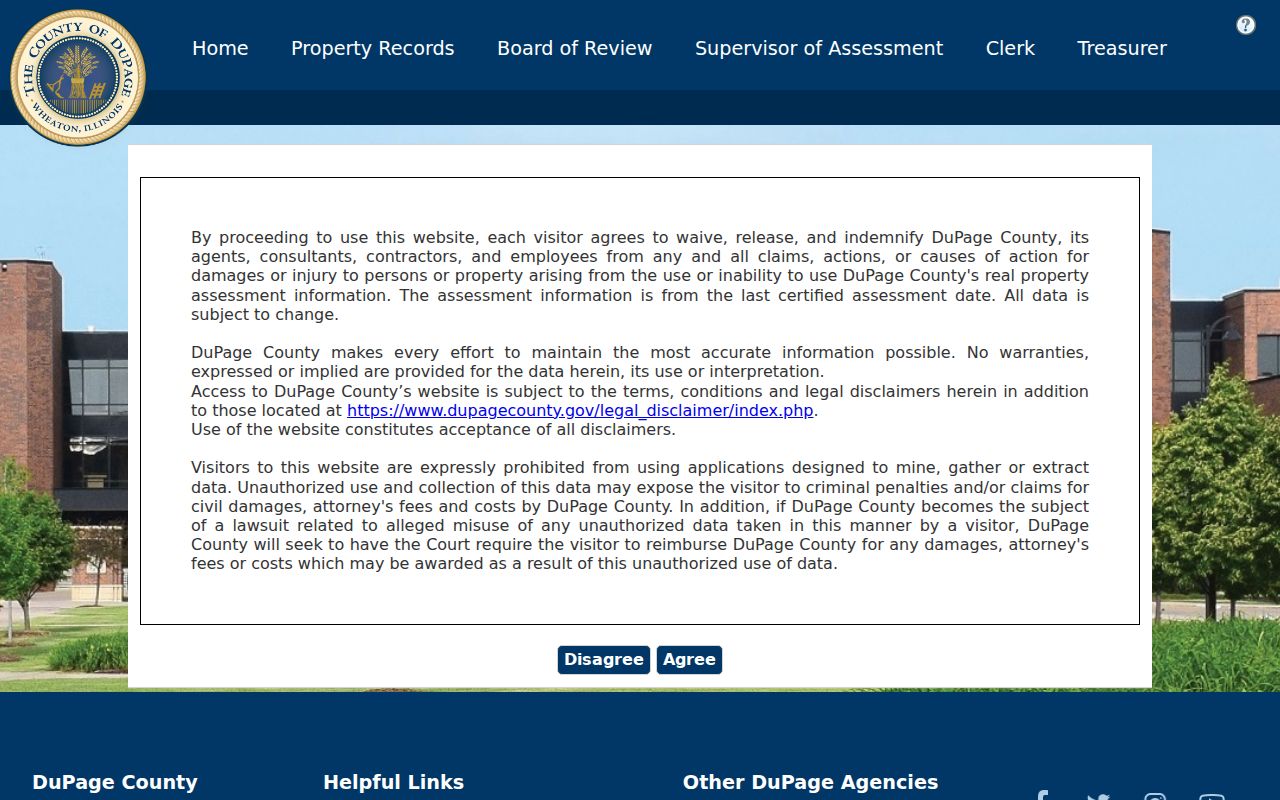
The screen is a starting point, not a household roster. Open the resulting PIN before comparing owner, property, and mailing fields.
| Street search control | Input | Useful result |
|---|---|---|
| Property Street Number | Full or partial number | Candidate parcel set |
| Direction and Street Name | Separate fields | Correct named road segment |
| Apartment and City | Unit and Lombard label | Narrowed address match |
| Property ZIPCODE | Postal code | ZIP-filtered parcels, not a village boundary |
| Search / Clear | Buttons | Results tab or reset criteria |
One inspected Lombard card identifies Lombard, York Township, and Village of Lombard together. Other parcels can carry different district combinations, especially at the edges. Read the actual tax entities rather than assigning them from the mailing city alone.
Two Addresses on Lombard Records
The county GIS schema makes a vital distinction. Fields beginning with BILL hold the billing or mailing address, while fields beginning with PROP hold the physical property address. A Lombard parcel may send its tax bill somewhere else. Keep both values because they answer different questions.
This is also why a name beside an address needs a label. A billing name may be an owner or entity receiving notices. It is not a county statement that the person resides at the Lombard site. Likewise, 60148 is the main Lombard postal label, but postal delivery geography is not the incorporated boundary. Use USPS for delivery, the assessor and GIS for parcel geography, and the Recorder for the legal chain.
Four location keys. A postal label, billing address, situs, and legal description can all differ without any record being wrong.
Lombard Records Indexed by Address
No single Lombard street directory answers every address question. Each custodian indexes a different event or relationship, and each has a different historical cutoff. The most reliable result labels the keeper, date, and access method.
| Address record | Custodian | Evidence supplied | Route and reach |
|---|---|---|---|
| Parcel and tax card | DuPage Supervisor of Assessments | Owner/billing name, situs, PIN, districts, transfer leads | Free current public portal; office phone 630-407-6500 |
| GIS parcel layer | DuPage GIS | Parcel polygon, billing/property fields, acreage, ZIP, status | Viewer, REST layer, shape search, buffer, and export |
| Recorded instruments | DuPage Recorder | Grantor, grantee, document number/type/date, image, legal description | Online from 1961; PIN from 1985; street from 1995; office records from 1839 |
| Election match | DuPage Election Division | Known elector/address and district information | Individual match; file products require the lawful request route |
| Permit or code file | Village Community Development | Address-linked permit or code activity when public | CitizenServe, then Village FOIA when fields are not visible |
For records missing from a portal, use the office channel. Recorder research staff can assist at 630-407-5401 with older deeds, books, microfilm, and plats. Village permit history may require a focused request because CitizenServe did not expose a reliable public date range in the research capture.
Election records require extra care. The address route asks for a house number, street name, city, and separate direction or suffix where needed. A different route uses identity details, including date of birth and either the last four Social Security digits or a driver's-license number. Those values are match inputs, not public output to collect or republish. The Election Division also handles formal voter-record and data requests. Available products have their own affidavits, redactions, fees, and lawful-purpose rules, so the individual lookup should not be stretched into a street roster.
For an older street, the library and archives are better than forcing a modern portal. The 1924-25 McDonough directory, released census schedules, local newspaper microfilm, Recorder books, and IRAD county series each cover a different period. Write down the edition or record year beside every result. The same surname at the same address decades later may be family continuity, a coincidence, or an indexing artifact until another dated source supports it.
Expand a Lombard Parcel Set
The Parcel Viewer can turn one verified lot into a reproducible nearby-parcel set. Its Buffer tool defaults to 250 feet and accepts a distance and unit. The source can be a parcel result, a feature selected from a map popup, or all features in that popup. Shape tools select intersecting parcels, with a documented maximum of 1,000.
Export formats include TXT, CSV, PDF, XLS, and XLSX. Save only the fields needed for lawful property research, then open each PIN in the assessor portal. The map also offers a layer list, legend, historical imagery slider, drawing, printing, pictometry, and measurement. Scale-dependent layers may vanish as the zoom changes, so a blank layer does not always mean no parcel exists.
Note: The default 250-foot buffer is a map setting, not an official definition of a Lombard neighborhood or block.
Lombard Plats and Permit Addresses
A modern street label can hide an older land description. The Recorder indexes subdivision plats, resubdivision plats, annexation ordinances and plats, vacations, easements, and road-related instruments. Start with the parcel card's subdivision and legal-description fields. Then search the Recorder by PIN and document type. If the online text is too recent, take the lot, block, subdivision, and approximate date to the Research Department.
Building permits and code matters follow a different chain. The Village routes these services through CitizenServe, but the static public portal did not reveal a dependable field inventory or historical cutoff. Search the address there first. If the needed file is not visible, submit a focused request to the Village under the Illinois Freedom of Information Act. Ask for a named record type and date span, such as permits issued for one parcel, rather than requesting every file attached to a whole street.
A permit applicant or contact is evidence about that filing, not proof of title or residence. Match the permit address to the PIN and compare its date with the assessor and deed record. This keeps address-based research tied to the same physical lot even when a mailing city, street text, or boundary label changes.
Trace Owners Along Lombard Streets
The assessor's Property Transfer History and Conveyance History can supply a sale date, price, document type, document number, seller, buyer, and direct Recorder lead. In the Recorder index, grantor means the party conveying an interest and grantee means the party receiving it. Confirm the document image, lot, block, and legal description before treating two names as one continuous chain.
Online coverage is uneven by search key. The Recorder states that images and name/computer research begin March 16, 1961, PIN searching begins in 1985, and street-address searching begins in 1995. Office property research reaches to 1839, while plats extend into the 1800s. An empty street query for an older year therefore says little about whether a deed exists.
Annexation ordinances and plats, subdivision and resubdivision plats, vacations, easements, and road instruments can explain a changing label. For a pre-portal record, take the known owner, approximate date, PIN or legal description to the Recorder Research Department. This office route is the essential fallback, not an optional last resort.
Limits of Lombard Street Directories
Public parcel systems do not list every person present in a home. They also do not publish utility customer accounts or open DMV address data. A voter lookup is designed to match a known elector with identity and address inputs; it is not a block browser. Protected voters, changed registrations, typing errors, and jurisdiction differences can also produce a non-match.
Historic city directories have their own limits. The confirmed McDonough volume lists Lombard residents aged 16 and over in 1924–25, using r for residence, spouse names in parentheses, widow notation, and phone suffixes. That is a dated occupancy clue, not current title. The exact local run of later reverse or criss-cross directories was not published, so ask Helen Plum Library or the Historical Society instead of claiming a complete shelf.
Lawful use. Use Lombard address records for legitimate personal, family, property, or civic research. Never use a result to stalk, harass, threaten, or harm anyone.
When two sources conflict, keep both dates and ask the custodian for the underlying record. The parcel card, deed image, directory scan, and election match measure different relationships. A careful Lombard street directory search never turns one of them into proof of an entire household. The street directory stays useful when each claim keeps that narrow scope.